At Arc-Team, we are committed to advancing the field of archaeology through innovative methods and technologies. Our aerial archaeology and photointerpretation services provide a unique perspective on the past, helping to uncover hidden histories and preserve our cultural heritage.
Our Aerial Archaeology Services Include:
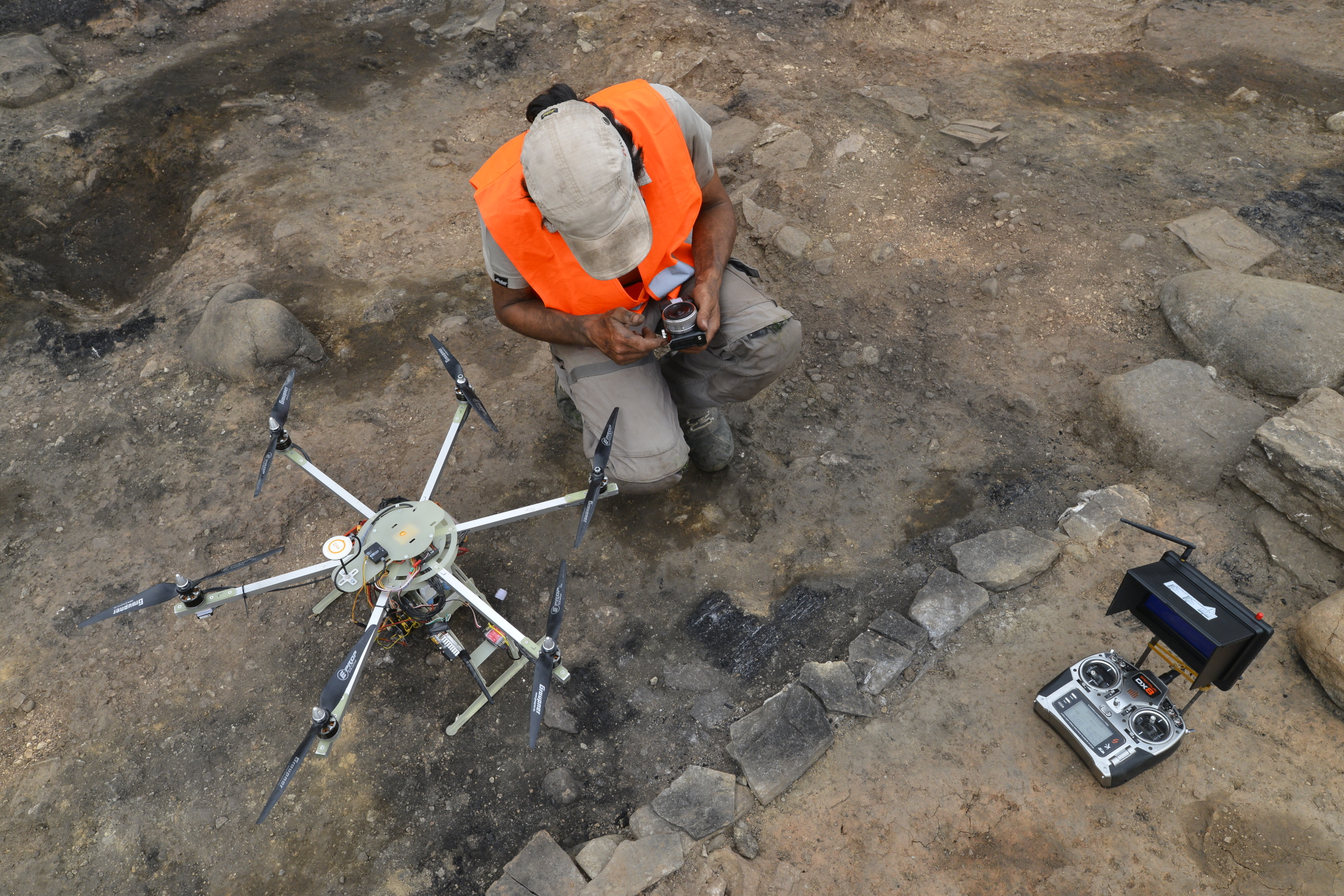
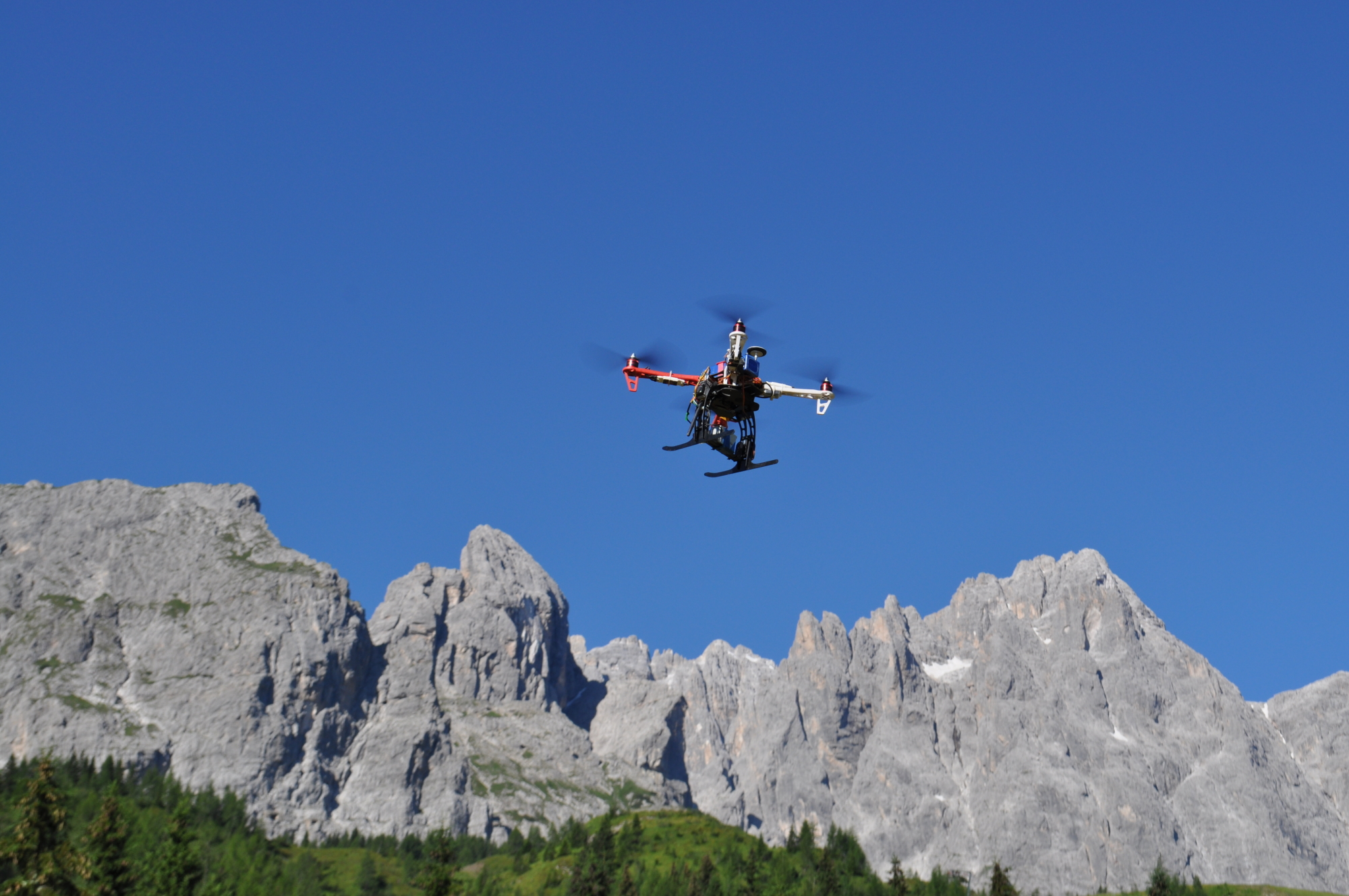
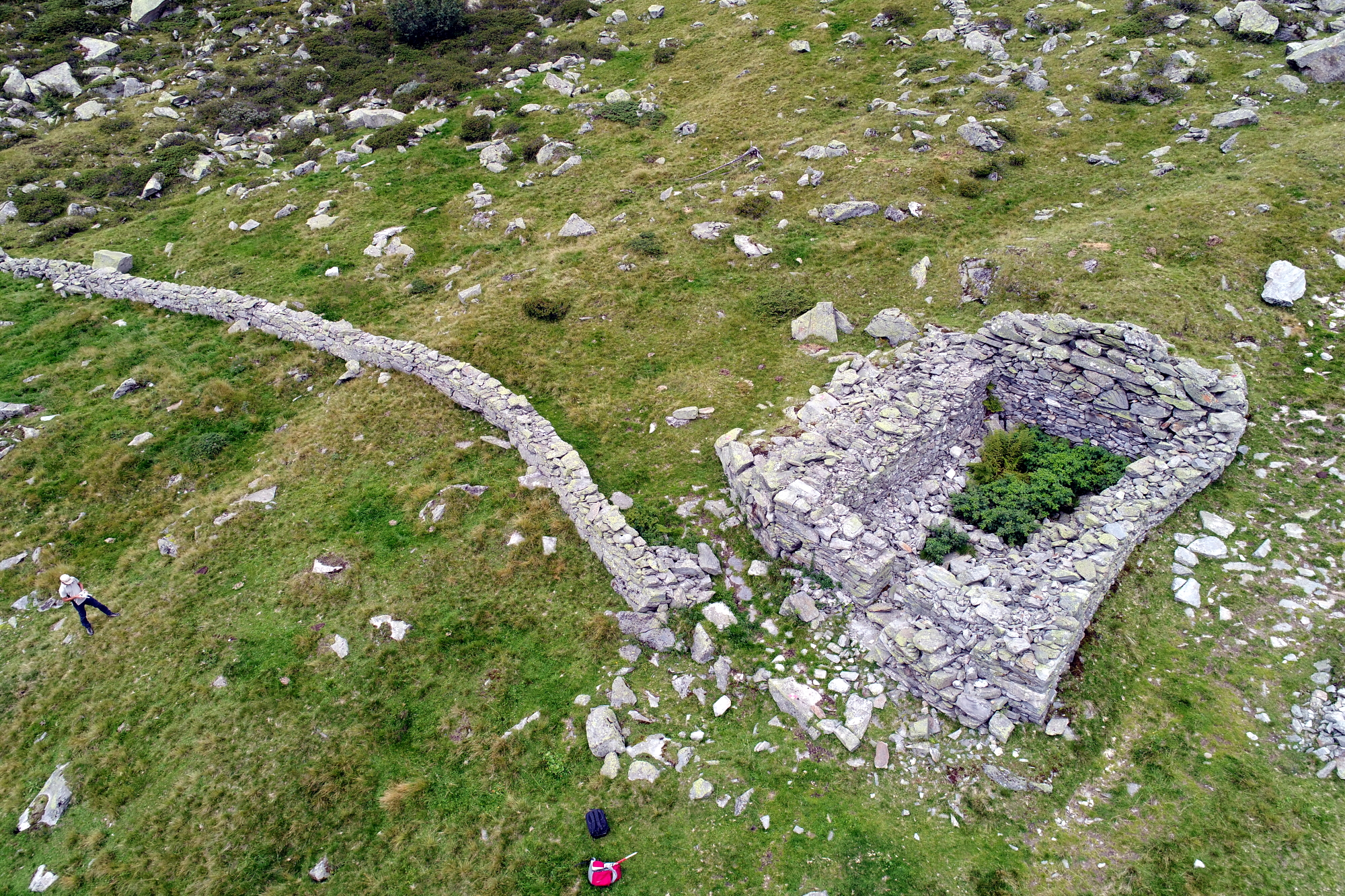
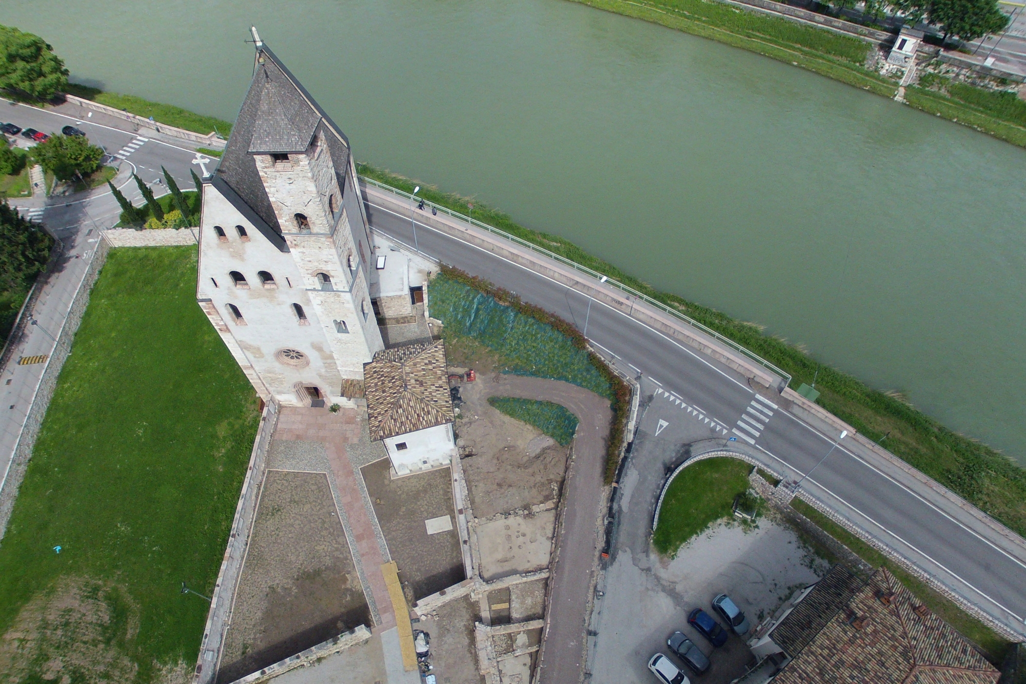
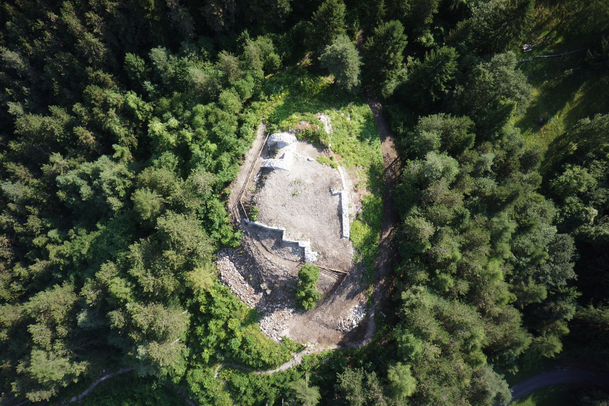
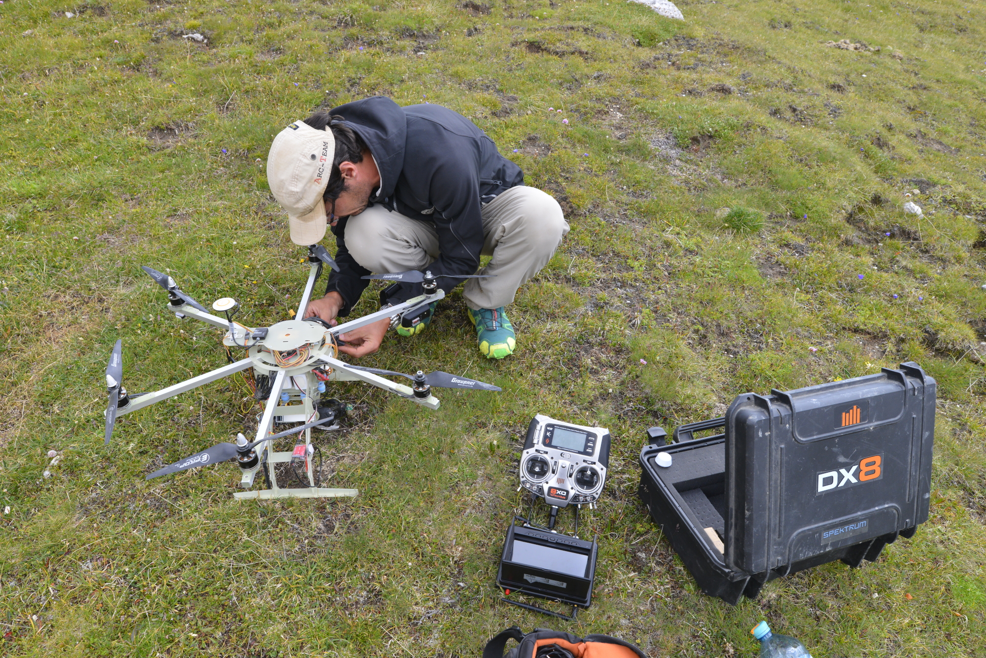
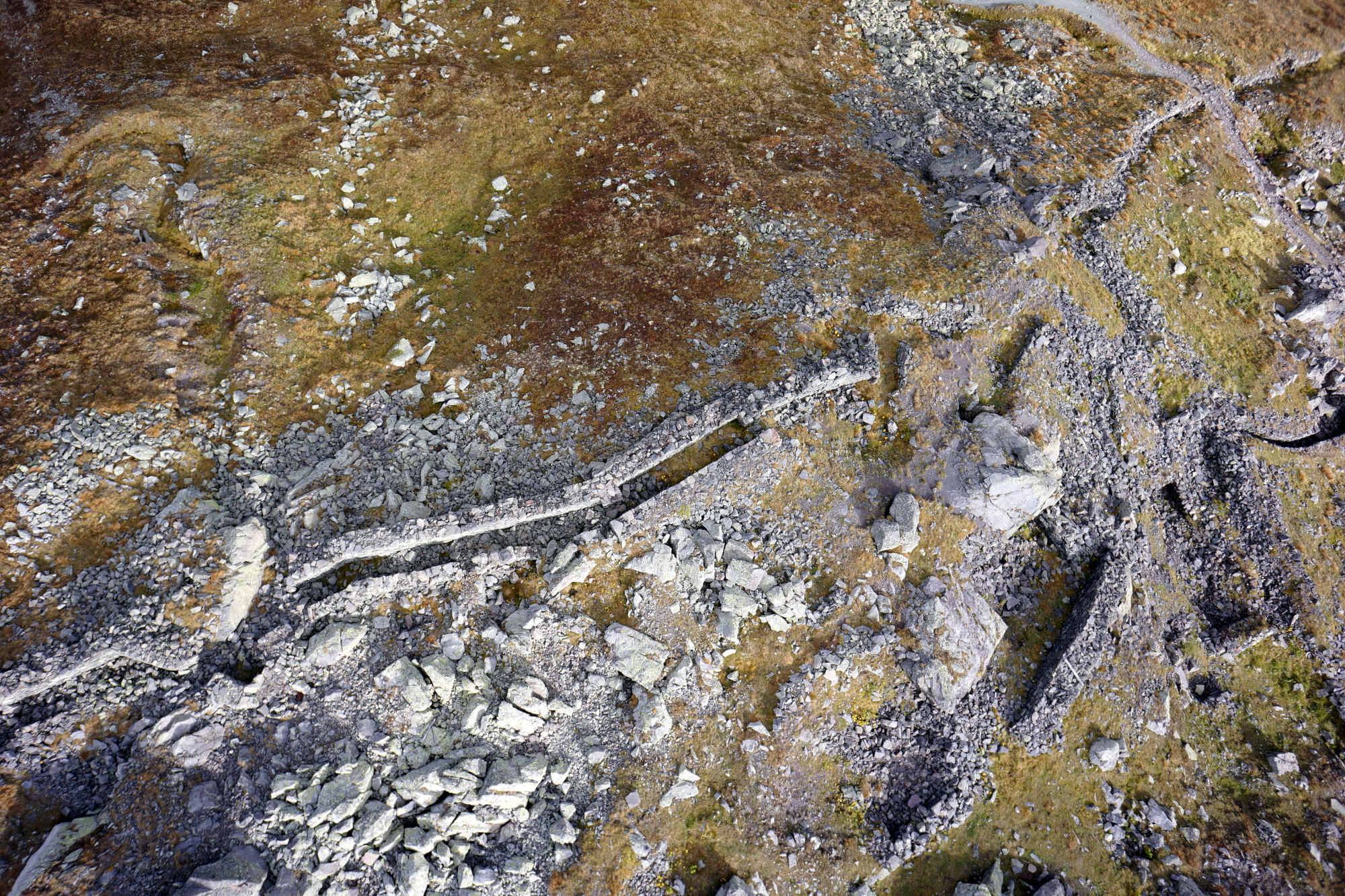
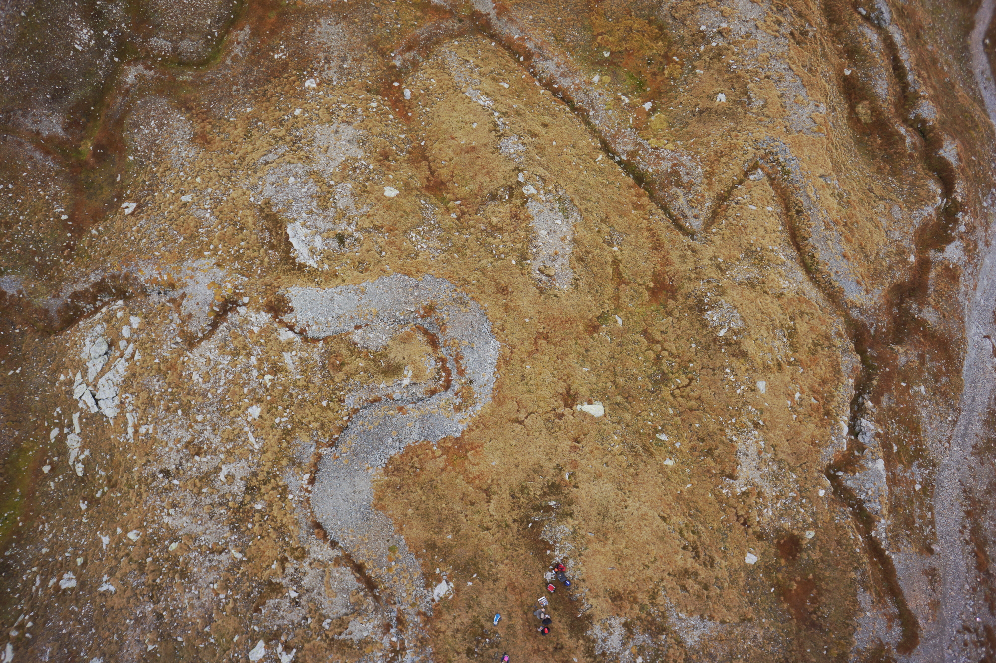
– Drone Surveys: our skilled team operates advanced drones equipped with high-resolution cameras and sensors to conduct comprehensive aerial surveys. This technology enables us to cover large areas quickly and efficiently, revealing features that may not be visible from the ground.
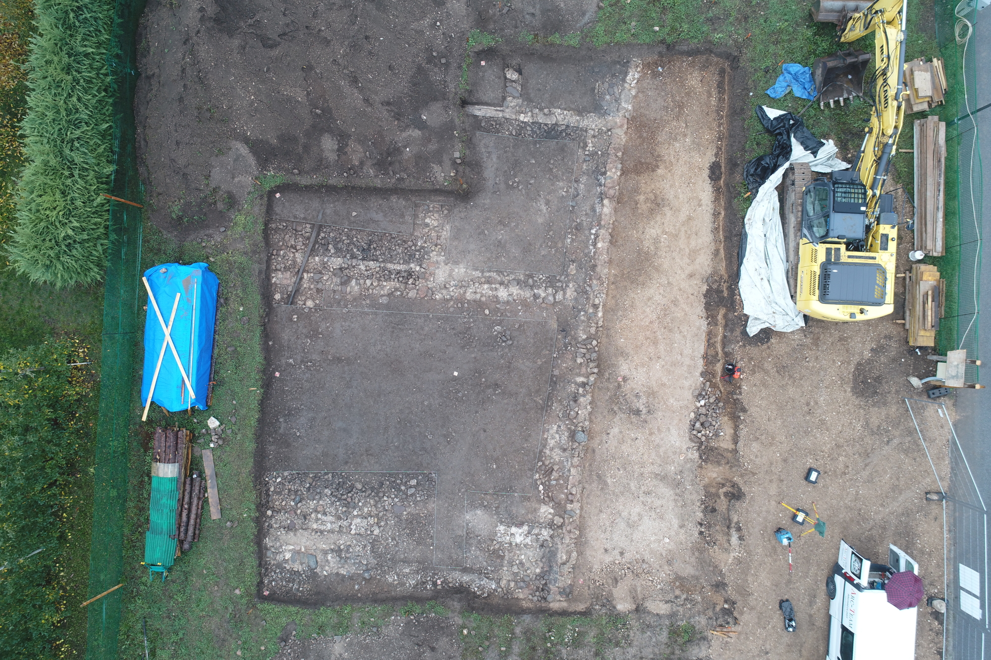
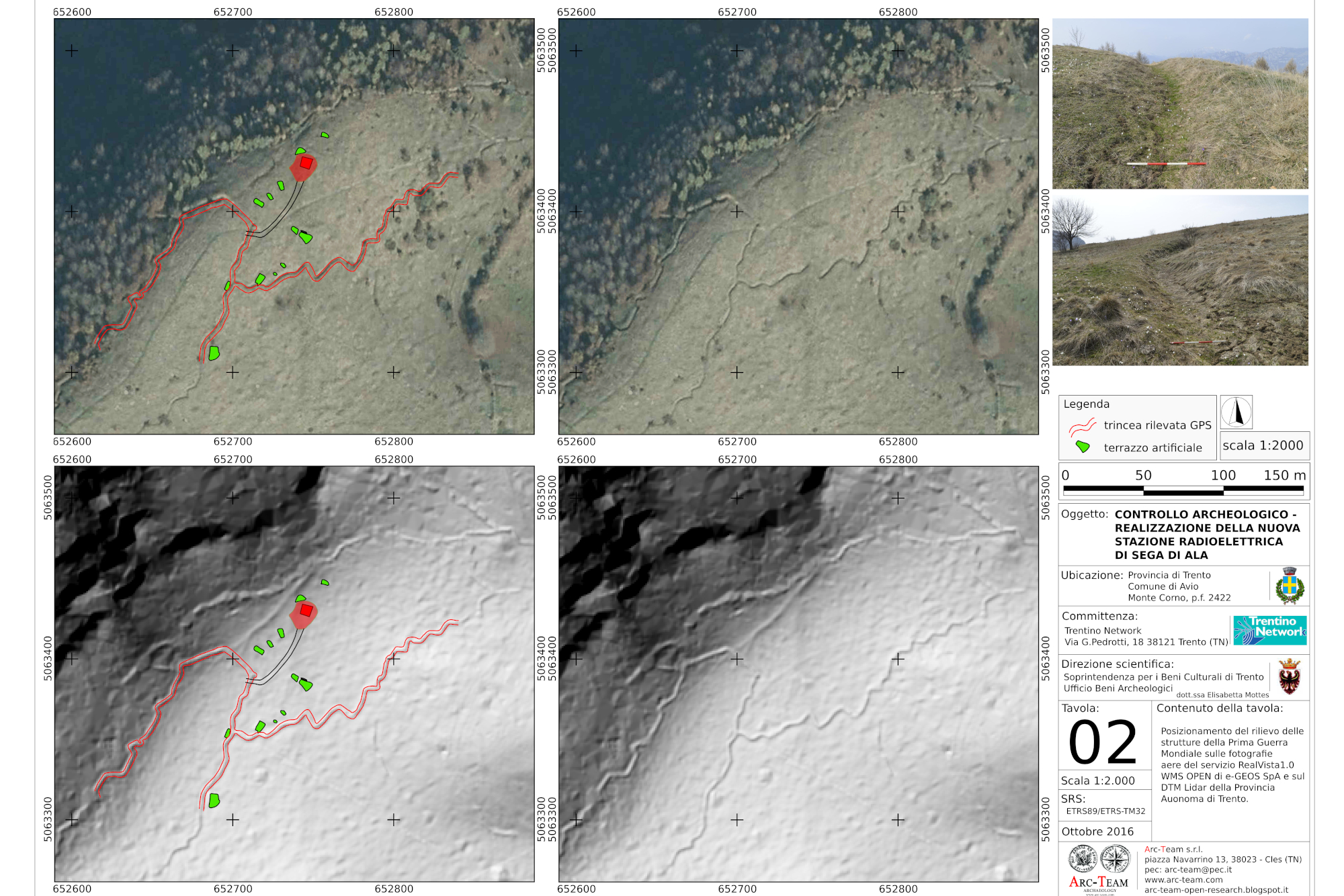
– Photointerpretation: we analyze the aerial imagery captured by our drones to identify and interpret archaeological features, such as ancient structures, burial sites, and landscape modifications. This process enhances our understanding of the historical context and spatial relationships within the site.
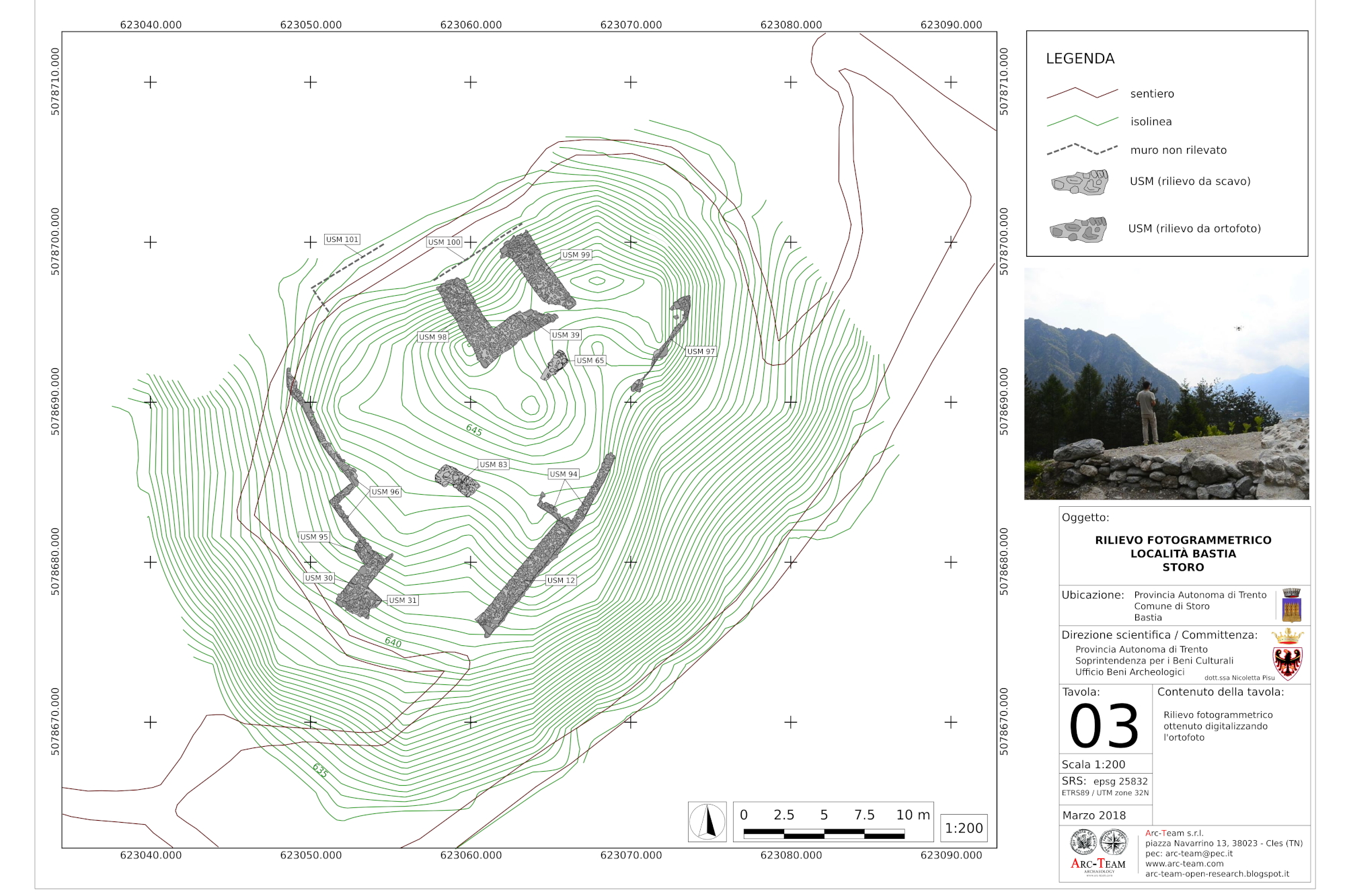
– Mapping and Documentation: the data collected through our aerial surveys is used to create detailed maps and 3D models, facilitating better planning and management of archaeological projects. Our documentation practices ensure that all findings are accurately recorded for future research and conservation efforts.
